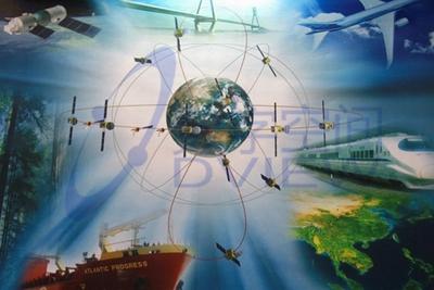
Three-dimensional visual planning management system
Spatial Information Sharing Service Platform
Based on software engineering, it cross-fuses geographic information scienceandremote sensing theory, and uses computer software technology, network and communication technology, mathematics and geographic knowledge, engineering and development technology to comprehensively study the engineering and technical problems of digitalization, networking, visualization and intelligent collection, processing, processing, sharing and application of spatial information.
Real-time monitoring of city roads
Intelligent dispatching platform for rapid restoration of power from distribution network faults
