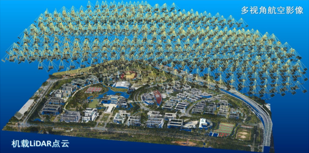
Adhering to the concept of all-digital mapping system proposed by Zhizhuo WANG, the grid processing system DPGrid for aerospace remote sensing image photogrammetry is developed. The research and application of photogrammetry and remote sensing integrated intelligent processing of multi-modal satellite images, domestic satellites’ global mapping technology system and application verification, 3D modeling of LiDAR point clouds, intelligent real-time industrial photogrammetry, etc. are carried out, which provide effective support for major national strategies and socio-economic development.
Aerospace photogrammetry technology and its applications
Application ofphotogrammetrytechnology in industry and engineering fields
●3D modeling and engineering application
●Intelligent real-time industrial photogrammetry
●Independent research and development of 3D modeling software

